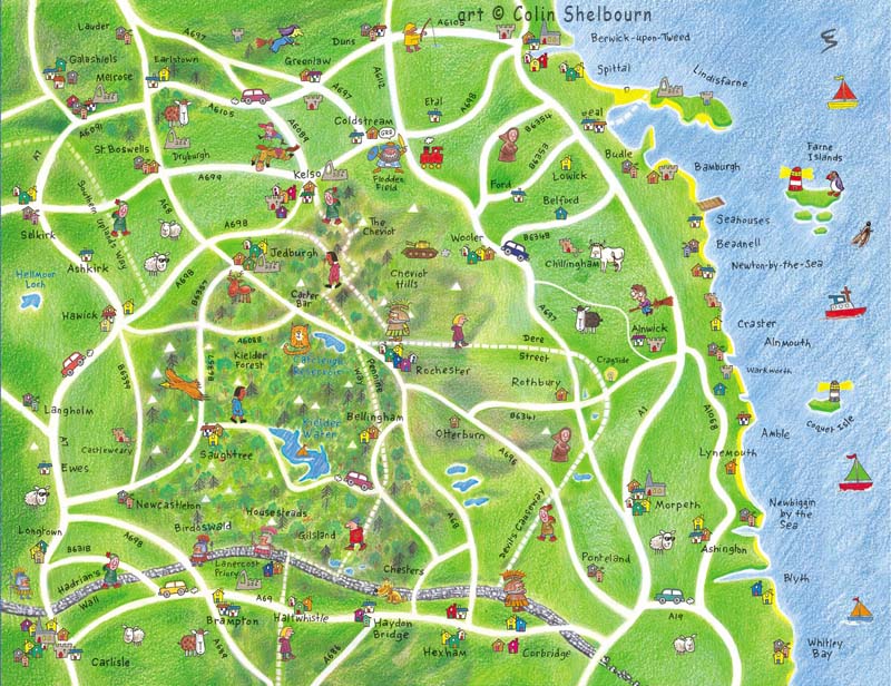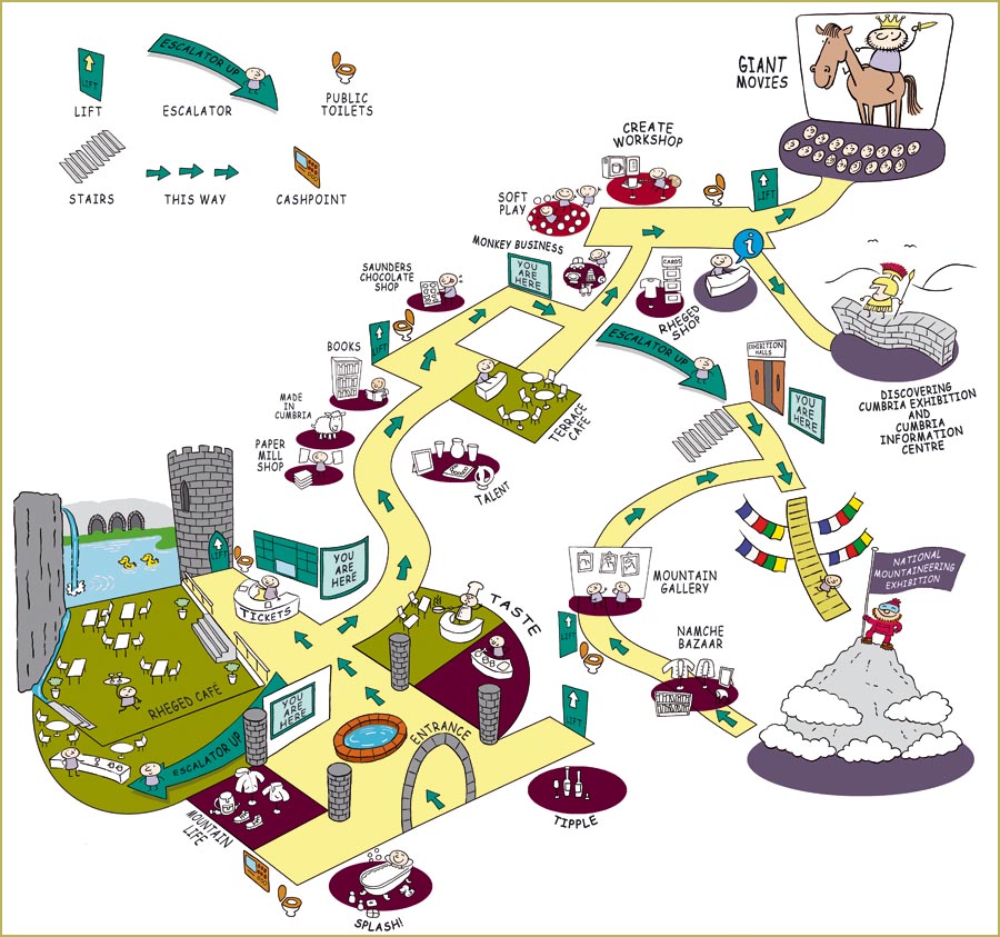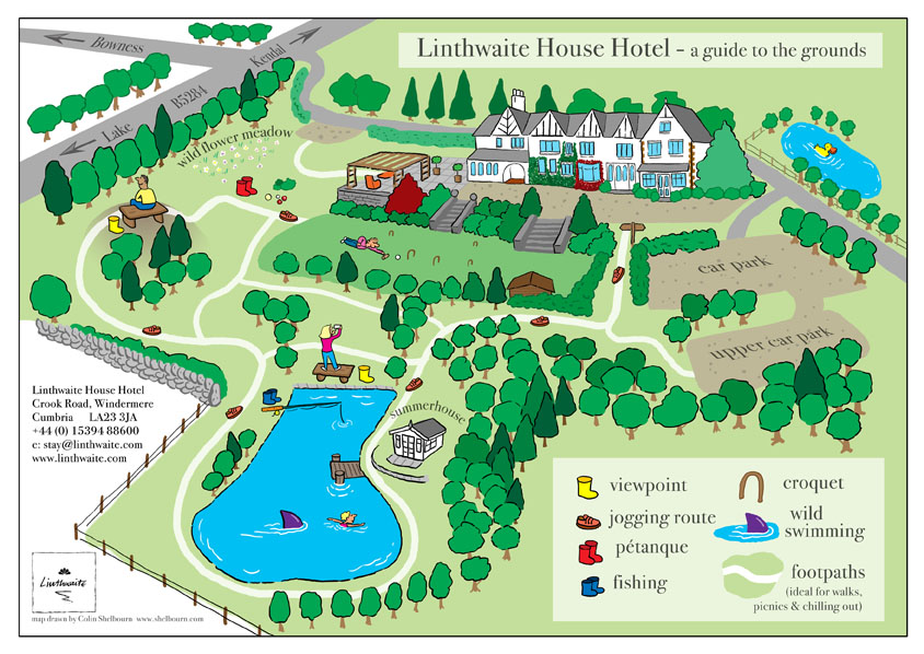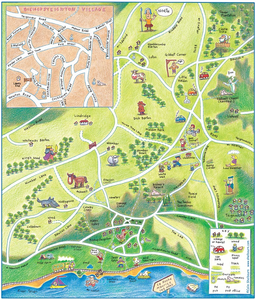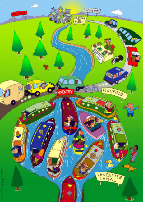
If you encounter me wandering around looking baffled, I’m probably designing a new map.
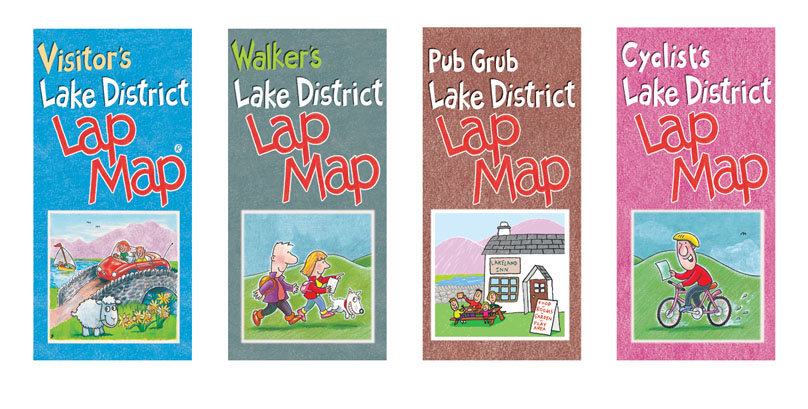
I’ve been drawing maps pretty much forever. My first commercial map was the Lake District Lap Map, published by Cardtoons Publications Ltd. It spawned a whole series and to date they have sold more than 600,000 copies.